Über uns Alle Touren ATV-TourenTouren zu heißen QuellenTouren mit AbseilenHängebrücken-TourenLa Fortuna Wasserfall TourenTouren ab San JoséNachtwanderungen Anreise Öffnungszeiten & Preise
Touren finden 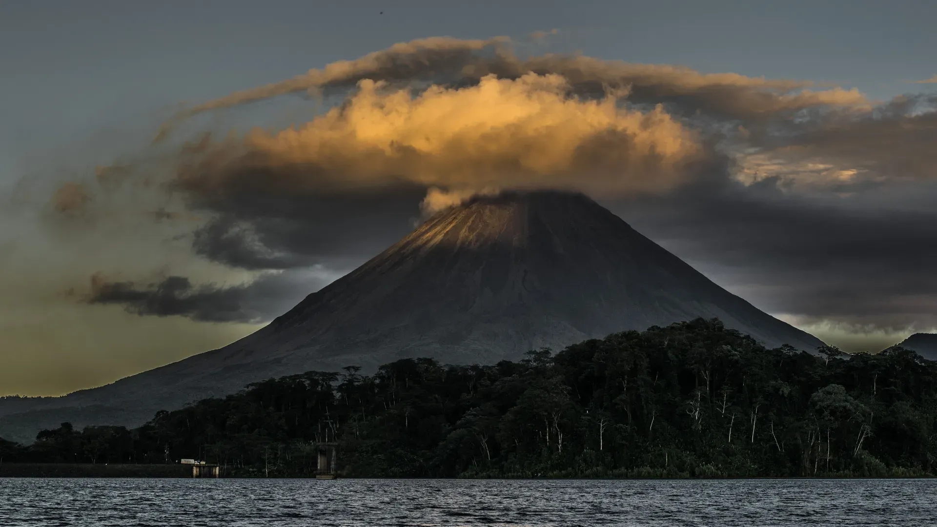
Arenal Volcano dominates the northern San Carlos plains of Costa Rica with a perfectly symmetrical 1,670-meter andesitic cone. The active stratovolcano anchors a 12,124-hectare national park that supplies 12 percent of the country's hydroelectric power.
A 1,670-meter andesitic stratovolcano anchors the northern zone of Costa Rica in the Alajuela Province. The sharp, symmetrical cone rises 15 kilometers southwest of the La Fortuna district, dominating the San Carlos plains. The surrounding 12,124-hectare national park protects humid secondary rainforests, regenerating volcanic tuffs, and hardened lava fields. Hikers traverse the 1.1-mile Las Coladas trail, walking directly over jagged basalt left by decades of continuous eruptions. The dark, porous rocks retain the midday heat and radiate warmth back up along the exposed sections of the path.
The mountain dictates the local climate and geography. Heavy rainfall frequently cloaks the summit in thick clouds between May and November, turning dirt roads muddy and obscuring the peak entirely. The dry season from December to April strips away the cloud cover, exposing the steep slopes and the active crater. Water flowing from this massive watershed feeds the adjacent Lake Arenal reservoir on the western flank. The resulting hydroelectric dam generates 12 percent of Costa Rica's renewable energy for the national grid.
Navigating the terrain requires specific preparation. The abrasive volcanic rocks demand sturdy closed-toe boots, as sandals easily tear on the sharp edges. The national park operates two distinct areas: the rugged Volcano Sector and the flatter Peninsula Sector. The Peninsula features a 1-mile paved concrete trail that accommodates wheelchairs and strollers. Foreign adults pay a $15 USD entrance fee plus tax by credit card to access both zones on the same day.
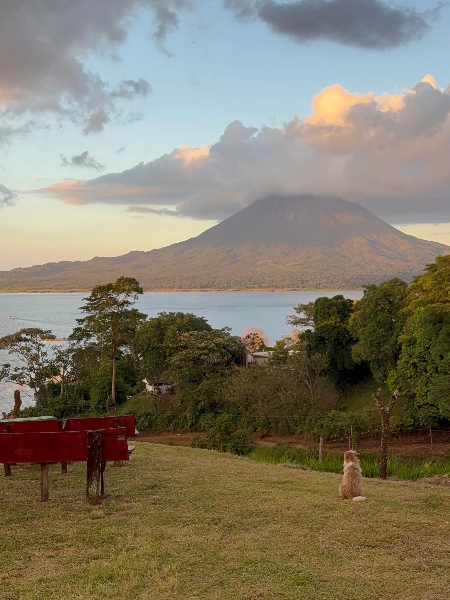
Geologists date the mountain at roughly 4,000 to 7,000 years old. Successive layers of ash, rock, and lava built the classic andesitic stratovolcano over millennia. The indigenous Guatuso people inhabited the surrounding plains for thousands of years before Spanish colonization. They recognized the geothermal power beneath the soil, naming the peak the home of the God of Fire. The volcano eventually fell quiet, entering a 400-year dormancy. Modern settlers assumed the peak was entirely extinct, building agricultural communities directly at its base.
The mountain shattered its quiet phase on July 29, 1968. A catastrophic lateral blast ripped through the western flank, instantly devastating 232 square kilometers of land. Pyroclastic flows and toxic gases destroyed the settlements of Pueblo Nuevo and Tabacón. The eruption killed 87 people in Costa Rica's deadliest volcanic event. Boulders the size of houses rained down on the surrounding forests, permanently altering the topography of the San Carlos plains. A historic shrine north of the national park now marks the exact edge of the destruction zone.
The 1968 explosion triggered a 42-year eruptive cycle. The crater constantly discharged lava, gas, and ash, drawing seismologists from around the globe to study its predictable strombolian activity. Glowing red boulders tumbled down the steep slopes nightly. The continuous activity fueled a massive tourism boom, transforming the quiet agricultural town of La Fortuna into a major travel hub. Hotels and hot spring resorts rapidly expanded along the 15-kilometer stretch of road connecting the town to the park entrance.
The volcano transitioned into an indeterminate resting phase in October 2010. Visible lava flows ceased, and the nightly glowing eruptions stopped. The mountain remains active, venting gases from the summit crater. Entering restricted high-risk zones near the peak is strictly illegal due to lethal gases and sudden landslide risks. Park rangers actively patrol the lower boundaries to enforce safety regulations. Visitors must stay on designated trails at the base.
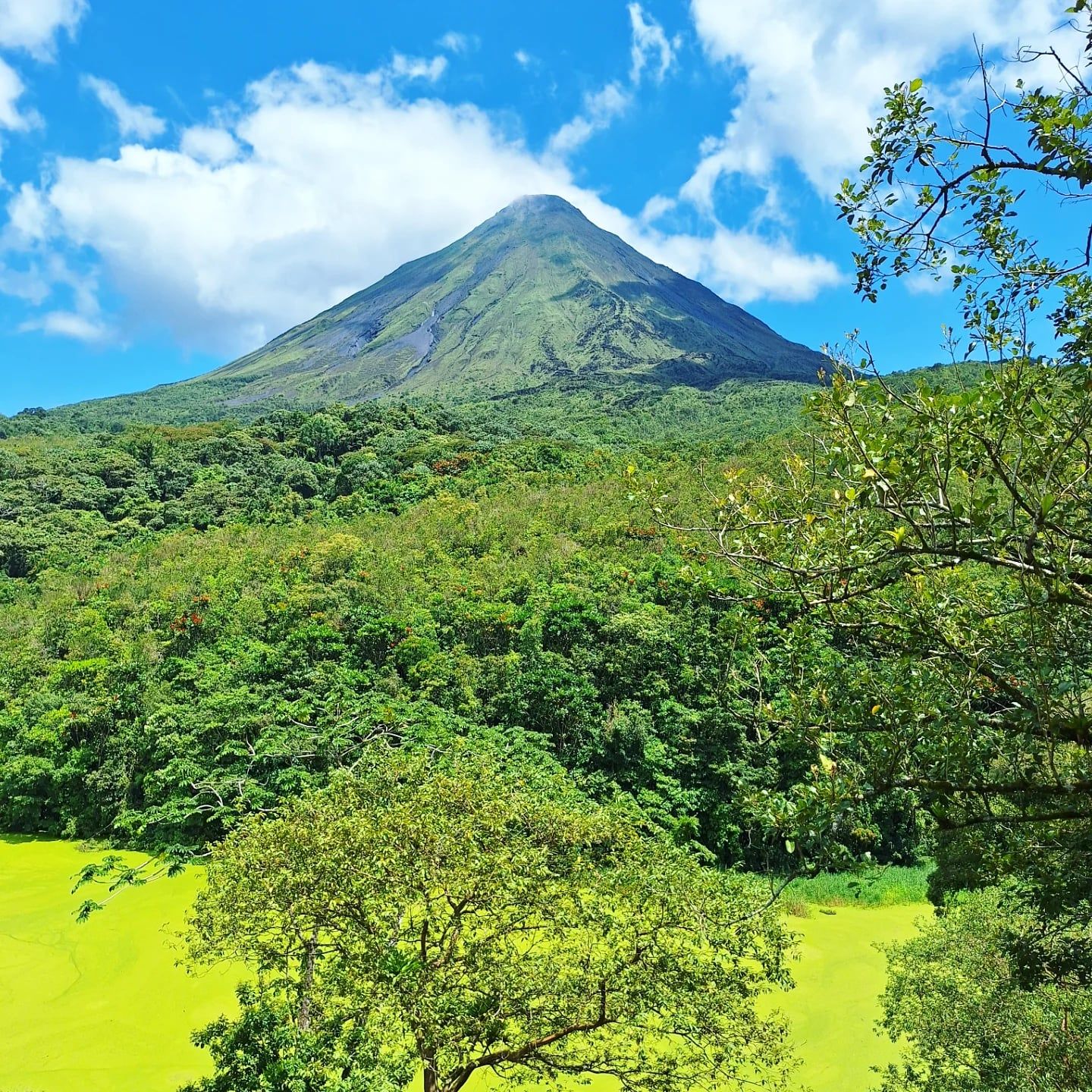
Successive layers of hardened lava, volcanic ash, and basaltic rock form the symmetrical cone. The eastern flank drops down to the shores of Lake Arenal, while the western and northern slopes bear the deep scars of the 1968 lateral blast. Hikers on the Las Coladas trail feel the sharp, abrasive texture of the cooled a'a lava flows underfoot. The adjacent Cerro Chato sits directly next to the main peak. This older, extinct volcano features a collapsed summit crater filled with an emerald-green lagoon.
Dense secondary rainforest thrives at the volcano's base. The 1.4-mile forest loop winds past 164-foot-tall Ceiba trees with massive buttress roots anchoring them into the volcanic soil. The humid air carries the echoing cries of howler monkeys and the sharp calls of toucans. Phosphorescent arrow frogs cling to damp leaves near the trail edges. The canopy blocks much of the direct sunlight, keeping the dirt paths moist even during the dry season. Guided night tours reveal a different ecosystem, exposing nocturnal insects and amphibians under the starlit sky.
Geothermal activity heats the groundwater circulating beneath the mountain. This superheated water rises to the surface, creating natural thermal springs throughout the La Fortuna area. The mineral-rich water flows through rocky riverbeds, maintaining temperatures between 98 and 105 degrees Fahrenheit. Resorts like Tabacon and Baldi channel these streams into landscaped thermal pools. Sudden heavy rains can rapidly cool the exposed pools and cause flash floods in the narrow river channels.
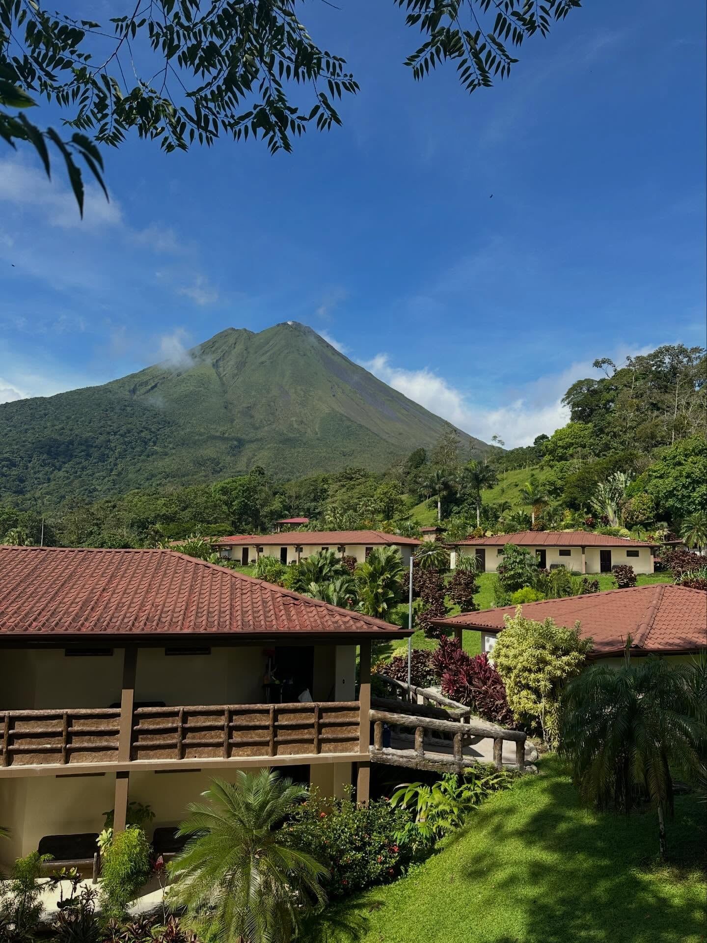
The indigenous Guatuso people revered the mountain long before European contact. They viewed the towering peak as the physical manifestation of the God of Fire. The mountain's internal rumblings and geothermal vents served as direct communication from the deity. Local tribes avoided settling directly on the upper slopes, recognizing the inherent danger of the volatile terrain. They utilized the fertile volcanic soil in the surrounding valleys to cultivate crops.
Modern Costa Rican culture views the mountain as a symbol of resilience and natural power. The 1968 eruption fundamentally shifted the regional economy from agriculture to ecotourism. Local farmers who lost their cattle and crops rebuilt their livelihoods around the geothermal hot springs and lava fields. In downtown La Fortuna, the historic Catholic church aligns perfectly with the volcano's peak. The manicured gardens and central plaza frame the green-sloped mountain, anchoring the town's daily life to the active crater looming 15 kilometers away.
The mountain directly sustains the national infrastructure. The expanded Lake Arenal reservoir captures the massive watershed rolling off the volcano's flanks. This water drives turbines that generate 12 percent of the country's electricity. The dam project displaced several small towns in the 1970s, forcing communities to relocate to higher ground on the lake's eastern shore.
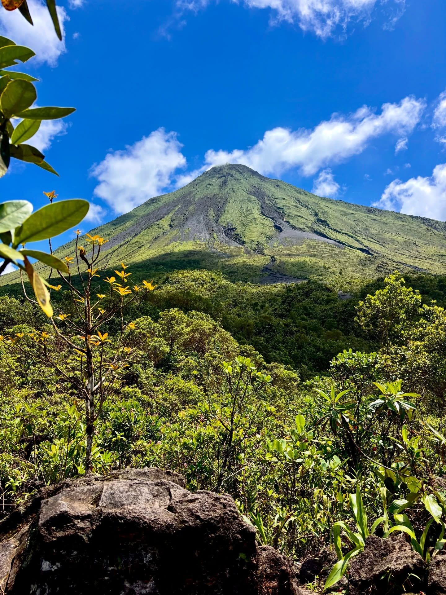
Arenal was considered an extinct mountain until it violently erupted in 1968 after 400 years of dormancy.
The Lake Arenal reservoir at the volcano's base generates 12 percent of Costa Rica's hydroelectric power.
A historic shrine north of the national park honors the 87 victims of the 1968 eruption.
Night tours on the historic lava fields reveal phosphorescent arrow frogs glowing on damp leaves.
The nearby La Fortuna Waterfall plunges 75 meters (246 feet) into a volcanic canyon.
Drones are strictly prohibited inside the national park to protect the local wildlife canopy.
The exact elevation fluctuates between 1,633 and 1,670 meters depending on shifting volcanic processes.
Yes, the volcano remains active but entered a quiet resting phase in October 2010. It previously experienced over 40 years of continuous eruptions starting in 1968.
No, ascending the volcano is strictly prohibited by national park authorities. The upper slopes contain lethal gases, sudden landslide risks, and falling ballistic boulders.
Foreign adults pay $15 USD plus tax, while foreign children ages 2 to 12 cost $5 USD plus tax. The park only accepts credit cards at the entrance gates.
The Volcano Sector opens daily from 8:00 AM to 4:00 PM, with the last entry at 2:30 PM. The Peninsula Sector stays open until 5:00 PM.
A standard rental car easily reaches both sectors of the national park year-round. The roads leading to the entrance gates are paved and well-maintained.
The mountain sits 148 kilometers (92 miles) northwest of San José. Driving between the capital and the volcano takes approximately 3 to 3.5 hours.
Drones are strictly illegal inside Arenal Volcano National Park. Park rangers confiscate equipment brought past the entrance gates to protect the local ecosystem.
Geothermal activity heats numerous natural springs throughout the La Fortuna area. Visitors access these waters through luxury resorts or free public river sections.
The 12,124-hectare reserve supports howler monkeys, sloths, coatis, and toucans. The Peninsula Sector's flat concrete paths offer excellent visibility for spotting these animals.
No direct public bus services the national park gates. Travelers must use rental cars, taxis, ride-shares, or guided tours from La Fortuna.
Durchsuchen Sie verifizierte Touren mit kostenloser Stornierung und sofortiger Bestätigung.
Touren finden